 NASA Scientific Visualization Studio
dead zone
NASA Scientific Visualization Studio
 Morris MacMatzen/Getty Images
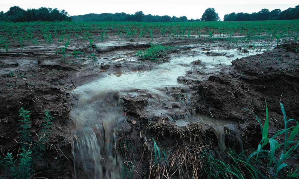
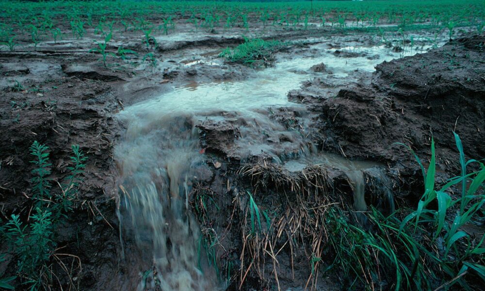 Lynn Betts/USDA NRCS
 US EPA/Flickr
 USDA NRCS
 Pikist
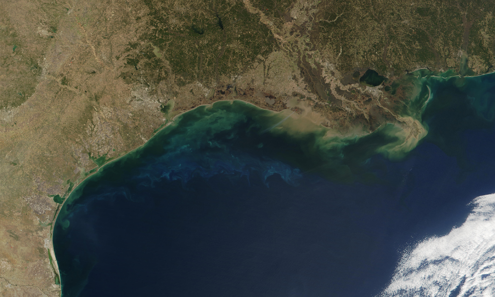 Jacques Descloitres, MODIS Land Rapid Response Team, NASA/GSFC
 Thomas Millot/Unsplash
 Southern Foodways Alliance/Flickr
 Billy Metcalf Photography/Flickr
 Joseph Sohm/Shutterstock
 Photo: Tim McCable, USDA/CC BY 2.0 (Flickr)
 Louisiana Universities Marine Consortium
 Photo courtesy National Oceanographic and Atmospheric Administration
 Photo: Iowa State University/Lisa Schulte Moore

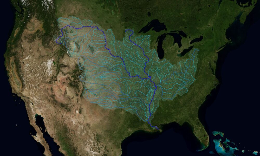
 Map of the US highlighting the hypoxic "dead zone" in the Gulf of Mexico and the watershed that feeds it. Photo: NOAA